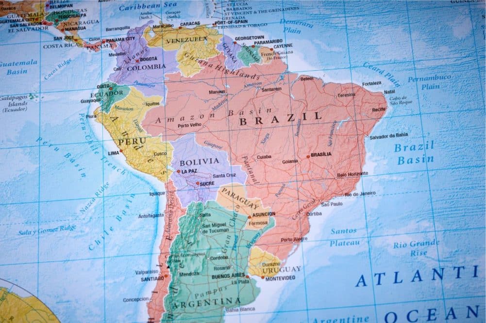
Most of the commodity trade fear of La Niña negatively influencing South America has passed. Weather conditions since the end of October have been mostly very good in Brazil and Argentina and the market mentality has been more bearish than bullish over futures prices; however, changing weather this month is likely to bring a little more interest back to the region, with Brazil expecting some drier- and warmer-biased conditions in central production areas near and beyond mid-month. Argentina also may see less rain for a while.
The changing weather is due to a combination of weather features all changing at about the same time. First, the jet stream over South America is shifting to the south after being active at a lower latitude than usual in recent weeks. This change alone will bring less precipitation to portions of both Brazil and Argentina, but it will also cause high pressure to build aloft over northern Argentina and central Brazil crop areas. This change comes while rainfall in the Amazon River Basin remains lighter than usual.
The jet stream pattern change will also occur while a robust Madden Julian Oscillation (MJO) event moves from the eastern Indian Ocean to the Maritime Provinces (Indonesia and Malaysia). It is hard to believe that a weather event nearly halfway around the world could influence South America, but it does occur. Without going into a tremendous amount of detail, MJO events are associated with significantly greater-than-usual rising air over the tropics.
These MJO events usually start over the drier areas of central Africa because of the heat sink that is quite often present in that part of the world. MJO events usually move from west to east, and once these areas of significantly greater-than-usual rising air get over the Indian Ocean, they can pick up water vapor and create huge areas of deep convection, resulting in very heavy rain events. As the MJO events perpetuate to the east there is a chain reaction of other influences around the tropical and subtropical regions of the world.
One strong association between robust MJO events that reach Indonesia and Malaysia during the Southern Hemisphere summer is dryness and greater warmth compared to normal in a part of central Brazil. The area most closely monitored for this development is inclusive of southern Mato Grosso, Mato Grosso do Sul, Bolivia, northern Paraguay and areas east across Goias to parts of Minas Gerais, Tocantins and a few neighboring areas. Each occurrence is a little different. What makes the expected occurrence of drier- and warmer-than-usual conditions in Brazil possibly more pronounced during mid-month is the fact that the jet stream will be shifting to the south and that convection from the Amazon Basin is lighter than usual.
In additional to all of this there is “some” evidence that more La Niña like conditions may evolve later this month. A full blown La Niña event in December would result in less rain in eastern Argentina, far southern Brazil and southern Paraguay. However, there is no La Niña event present today. Some scientists believe that if the eastern equatorial Pacific Ocean cools enough to accommodate a La Niña event then those conditions must persist for a few weeks before the atmosphere would fully respond worldwide.
World Weather, Inc. is not convinced that a full blown La Niña is possible in the next few months, but given the setup right now with the southward shift in the jet stream over South America and the MJO event over Indonesia and Malaysia the potential for some influence from possible developing La Niña could lead to further support of less rain in eastern Argentina and southern Brazil.
The dry down in southern Brazil is more likely to occur later in December. The region from northern Rio Grande do Sul and southern Paraguay through Parana to Sao Paulo is likely to be quite wet in the first half of December. It may take a couple of weeks for drier weather to evolve before the soil can dry down significantly. That leaves low confidence in a southern Brazil dryness issue until late December or in January. Eastern Argentina might dry down a little quicker, but the feature that looks more imminent is the high-pressure ridge that may develop from northern Argentina through Bolivia and northern Paraguay into Mato Grosso do Sul, southern Mato Grosso and Goias during mid-December.
The high-pressure ridge should suppress rainfall and allow temperatures to drift warmer than usual. It would not be surprising to see extreme daily high temperatures in the 90s to 108 degrees Fahrenheit from mid-December into the latter part of the month, but much can still change. Concern about this pattern may be a little greater than usual because of the poor rainfall that is still occurring in the Amazon River Basin. Weak convective activity in the Amazon Basin will limit the breakdown potential for the ridge of high pressure — at least for a little while.
Most computer forecast models (not all) are suggesting the MJO event will shift farther to the east into the western and central Pacific Ocean while weakening in the latter part of December. If that occurs, the heat and dryness that builds up in Brazil, Bolivia, northern Paraguay and northern Argentina should not last more than a couple of weeks, but if the eastward shift in MJO out of Indonesia and Malaysia fails to evolve and/or remains a robust event there could be a little more festering in the drier- and warmer-biased conditions in central South America. World Weather, Inc. expects the drier and warmer bias to eventually break down and greater rain will resume, but the situation will need to be closely monitored.
In the meantime, watch for flooding rain in Indonesia and Malaysia during mid-December while parts of South America are drying down.
